Artifact Details

On 11 July 1941, President Franklin Roosevelt approved the order establishing the Office of the Coordinator of Information (COI) and selected then Colonel William “Wild Bill” Donovan to head the new organization. The President’s order authorized the COI to collect and analyze any and all information relevant to national security. At the same time, the COI’s efforts were not to duplicate or replace the intelligence activities of other US Government offices.
Recognizing a need for customized maps, the COI created a cartography section and hired Arthur H. Robinson, a graduate student pursuing a Ph.D. in geography. Robinson started work in the Research and Analysis Branch/Geographic Division in October 1941 and soon produced the division’s first map. With America’s entry into World War II, the need for maps increased and another geographer joined the staff. When the Office of Strategic Services (OSS) replaced the COI in June 1942, the Cartography Section grew to include an additional 28 geographers by the end of the year.
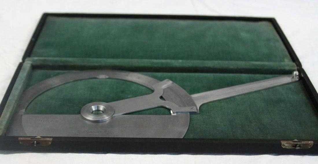
The CIA Cartography Center continues the work of its COI and OSS predecessors. It has amassed a large collection of cartography tools, many of which were used from 1941 into the 1960s. One of the instruments in the CIA Museum’s collection is a mechanical protractor. Manufactured by Mantua Metal Products Company in Woodbury Heights, New Jersey, this protractor was used to draw or measure accurate angles from one point to another on a map to meet America’s wartime needs.
